The information of the recognized route value and leasehold ratio by the character recognition library and the information of arrows are output in connection.
It is also possible to integrate the information of eight adjacent route value maps including the directions of up, down, left, right, and diagonally.
Even if the arrows penetrate multiple drawings, they can be integrated.
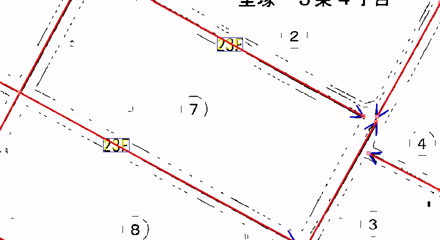
- Result screen of route value map processing (partially enlarged)
The yellow represents route value strings (route value strings), the blue represents arrowheads, and the red represents arrows.

The processing time is 2 to 3 seconds for a single route value.
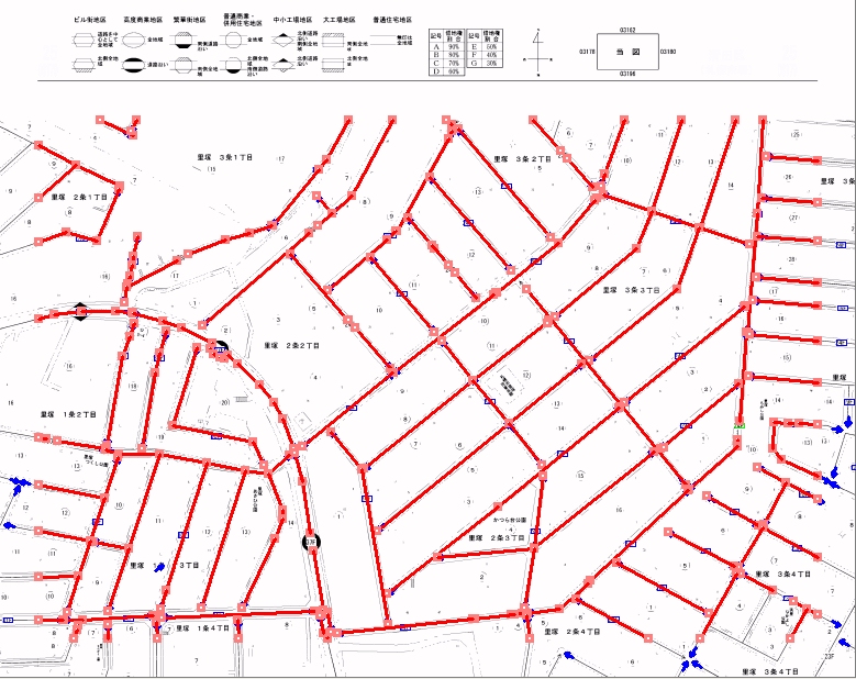
- Result screen of route value map processing (full screen display)

The recognition rate is over 97% (expected to reach 99% in the next version upgrade) when using the arrow information from the previous year, and around 90% when not using the arrow information from the previous year.